Railway to Canterbury
Introduction
The photograph on this page of Railway to Canterbury by David Anstiss as part of the Geograph project.
The Geograph project started in 2005 with the aim of publishing, organising and preserving representative images for every square kilometre of Great Britain, Ireland and the Isle of Man.

There are currently over 7.5m images from over 14,400 individuals and you can help contribute to the project by visiting https://www.geograph.org.uk
Railway to Canterbury
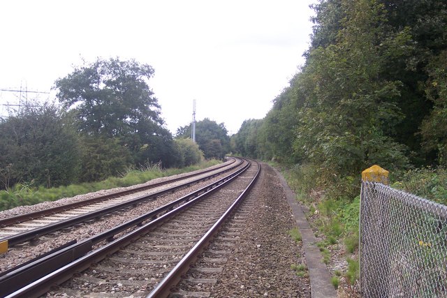
Image: © David Anstiss Taken: 30 Sep 2009
This line leads from Margate, via Minister, Sturry and onto Canterbury West before heading to Ashford. It is seen from the level crossing near Broad Oak Road.
Images are licensed for reuse under creativecommons.org/licenses/by-sa/2.0
Image Location
Latitude
51.296653
Longitude
1.098484