Footbridge to Ungaisidar
Introduction
The photograph on this page of Footbridge to Ungaisidar by John Tustin as part of the Geograph project.
The Geograph project started in 2005 with the aim of publishing, organising and preserving representative images for every square kilometre of Great Britain, Ireland and the Isle of Man.

There are currently over 7.5m images from over 14,400 individuals and you can help contribute to the project by visiting https://www.geograph.org.uk
Footbridge to Ungaisidar
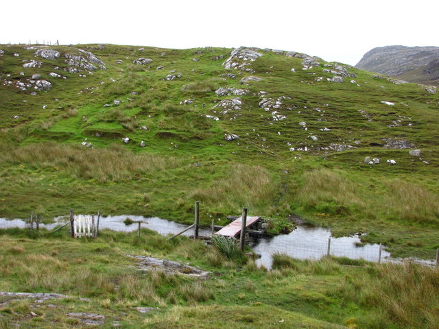
Image: © John Tustin Taken: 23 Aug 2009
In 1992 this bridge was precarious; now in 2009, and clearly showing no signs of renovation, it was with some trepidation that we crossed it again in the pouring rain. The metal plate has rusted through in several places giving a view of the mud below.
Images are licensed for reuse under creativecommons.org/licenses/by-sa/2.0
Image Location
Latitude
58.161617
Longitude
-6.892475