Field, Drumour
Introduction
The photograph on this page of Field, Drumour by Richard Webb as part of the Geograph project.
The Geograph project started in 2005 with the aim of publishing, organising and preserving representative images for every square kilometre of Great Britain, Ireland and the Isle of Man.

There are currently over 7.5m images from over 14,400 individuals and you can help contribute to the project by visiting https://www.geograph.org.uk
Field, Drumour
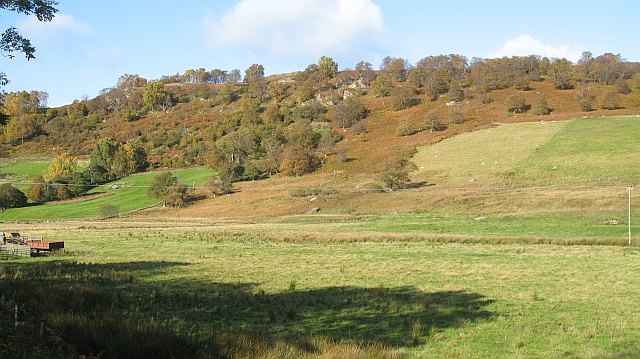
Image: © Richard Webb Taken: 16 Oct 2008
The flat floor of Strath Braan near the Tombane Burn. View across the fields to rocky and wooded slopes beneath Druim Mòr.
Images are licensed for reuse under creativecommons.org/licenses/by-sa/2.0
Image Location
Latitude
56.538444
Longitude
-3.695205