Crab and Winkle Way Cycle Path towards Canterbury
Introduction
The photograph on this page of Crab and Winkle Way Cycle Path towards Canterbury by David Anstiss as part of the Geograph project.
The Geograph project started in 2005 with the aim of publishing, organising and preserving representative images for every square kilometre of Great Britain, Ireland and the Isle of Man.

There are currently over 7.5m images from over 14,400 individuals and you can help contribute to the project by visiting https://www.geograph.org.uk
Crab and Winkle Way Cycle Path towards Canterbury
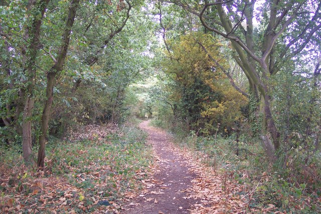
Image: © David Anstiss Taken: 30 Sep 2009
This path leading from the University of Kent, near Eliot College towards St. Michaels Road. It uses the route of a disused railway from Whitstable to Canterbury.
Images are licensed for reuse under creativecommons.org/licenses/by-sa/2.0
Image Location
Latitude
51.291729
Longitude
1.073765