Meadow near Garden Mill, Kingsbridge
Introduction
The photograph on this page of Meadow near Garden Mill, Kingsbridge by Derek Harper as part of the Geograph project.
The Geograph project started in 2005 with the aim of publishing, organising and preserving representative images for every square kilometre of Great Britain, Ireland and the Isle of Man.

There are currently over 7.5m images from over 14,400 individuals and you can help contribute to the project by visiting https://www.geograph.org.uk
Meadow near Garden Mill, Kingsbridge
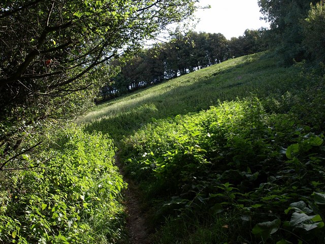
Image: © Derek Harper Taken: 1 Oct 2009
Kingsbridge Footpath 6 climbs the right side of this steep triangular meadow, linking Derby Road with High House Lane.
Images are licensed for reuse under creativecommons.org/licenses/by-sa/2.0
Image Location
Latitude
50.281375
Longitude
-3.771366