Horsehay
Introduction
The photograph on this page of Horsehay by Steve McShane as part of the Geograph project.
The Geograph project started in 2005 with the aim of publishing, organising and preserving representative images for every square kilometre of Great Britain, Ireland and the Isle of Man.

There are currently over 7.5m images from over 14,400 individuals and you can help contribute to the project by visiting https://www.geograph.org.uk
Horsehay
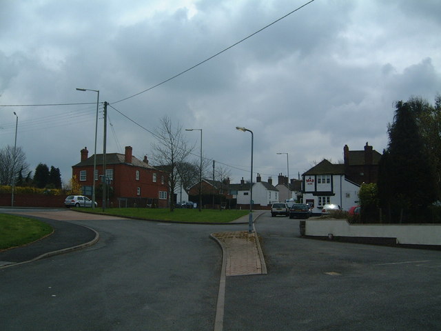
Image: © Steve McShane Taken: 15 Apr 2006
The Forester's Arms pub on the right hand side used to stand on the old road from Wellington to Ironbridge, but now stands just off a junction on the new road bypassing Horsehay.
Images are licensed for reuse under creativecommons.org/licenses/by-sa/2.0
Image Location
Latitude
52.658804
Longitude
-2.490791