The River Derwent from the A38
Introduction
The photograph on this page of The River Derwent from the A38 by David Lally as part of the Geograph project.
The Geograph project started in 2005 with the aim of publishing, organising and preserving representative images for every square kilometre of Great Britain, Ireland and the Isle of Man.

There are currently over 7.5m images from over 14,400 individuals and you can help contribute to the project by visiting https://www.geograph.org.uk
The River Derwent from the A38
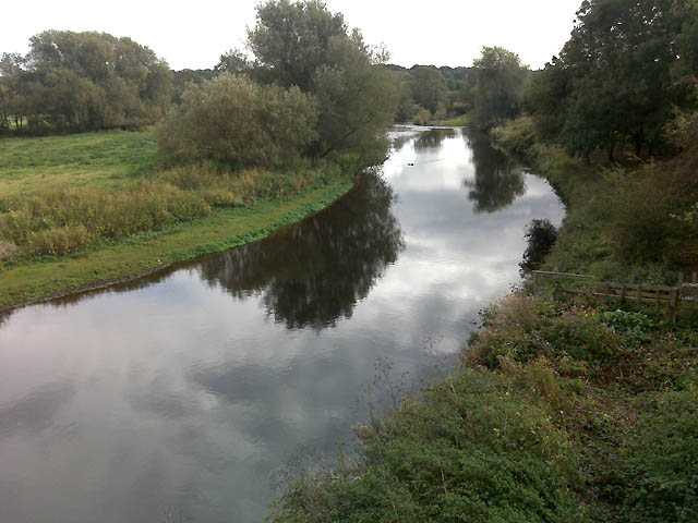
Image: © David Lally Taken: 4 Oct 2009
At this point the A38 is serving as a section of the Derby ring road. Meanwhile the river is about to undertake two 180 degree meanders, with a result that it flows about 2 kilometres within this one grid square.
Images are licensed for reuse under creativecommons.org/licenses/by-sa/2.0
Image Location
Latitude
52.954741
Longitude
-1.467199