Lane to Bathealton
Introduction
The photograph on this page of Lane to Bathealton by Derek Harper as part of the Geograph project.
The Geograph project started in 2005 with the aim of publishing, organising and preserving representative images for every square kilometre of Great Britain, Ireland and the Isle of Man.

There are currently over 7.5m images from over 14,400 individuals and you can help contribute to the project by visiting https://www.geograph.org.uk
Lane to Bathealton
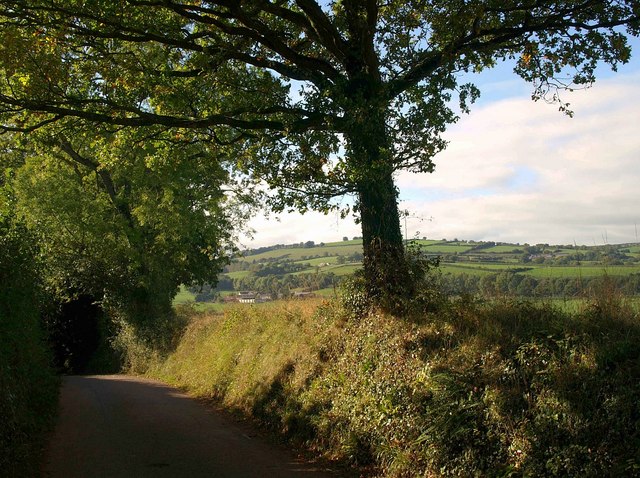
Image: © Derek Harper Taken: 29 Sep 2009
The lane shown in Image starts to drop more steeply between rising banks and trees. Glimpsed ahead is Woodlands Farm, in Image
Images are licensed for reuse under creativecommons.org/licenses/by-sa/2.0
Image Location
Latitude
51.015677
Longitude
-3.309775