Mannamead Road
Introduction
The photograph on this page of Mannamead Road by Hugh Venables as part of the Geograph project.
The Geograph project started in 2005 with the aim of publishing, organising and preserving representative images for every square kilometre of Great Britain, Ireland and the Isle of Man.

There are currently over 7.5m images from over 14,400 individuals and you can help contribute to the project by visiting https://www.geograph.org.uk
Mannamead Road
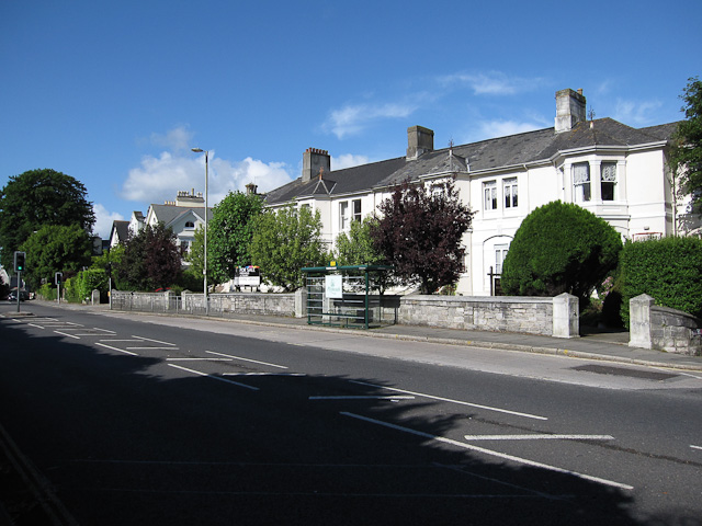
Image: © Hugh Venables Taken: 7 Jun 2009
Bus stop and some of the large houses along the road.
Images are licensed for reuse under creativecommons.org/licenses/by-sa/2.0
Image Location
Latitude
50.38686
Longitude
-4.131348