Sidmouth Sailing Club
Introduction
The photograph on this page of Sidmouth Sailing Club by Anthony Vosper as part of the Geograph project.
The Geograph project started in 2005 with the aim of publishing, organising and preserving representative images for every square kilometre of Great Britain, Ireland and the Isle of Man.

There are currently over 7.5m images from over 14,400 individuals and you can help contribute to the project by visiting https://www.geograph.org.uk
Sidmouth Sailing Club
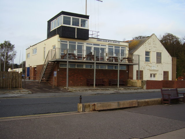
Image: © Anthony Vosper Taken: 5 Oct 2009
The building on the right is a Drill Hall now home to an Army Cadet Unit. Property developers have their eyes on this site for redevelopment.
Images are licensed for reuse under creativecommons.org/licenses/by-sa/2.0
Image Location
Latitude
50.678812
Longitude
-3.234698