Abandoned length of former A429 near M40 junction 15
Introduction
The photograph on this page of Abandoned length of former A429 near M40 junction 15 by Robin Stott as part of the Geograph project.
The Geograph project started in 2005 with the aim of publishing, organising and preserving representative images for every square kilometre of Great Britain, Ireland and the Isle of Man.

There are currently over 7.5m images from over 14,400 individuals and you can help contribute to the project by visiting https://www.geograph.org.uk
Abandoned length of former A429 near M40 junction 15
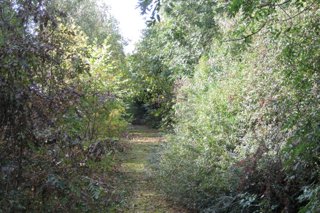
Image: © Robin Stott Taken: 4 Oct 2009
The road to Barford and Wellesbourne was severed and diverted by the M40 Image Seen from near Longbridge Manor.
Images are licensed for reuse under creativecommons.org/licenses/by-sa/2.0
Image Location
Latitude
52.25912
Longitude
-1.608777