Gate on the Crab and Winkle Way Cyclepath
Introduction
The photograph on this page of Gate on the Crab and Winkle Way Cyclepath by David Anstiss as part of the Geograph project.
The Geograph project started in 2005 with the aim of publishing, organising and preserving representative images for every square kilometre of Great Britain, Ireland and the Isle of Man.

There are currently over 7.5m images from over 14,400 individuals and you can help contribute to the project by visiting https://www.geograph.org.uk
Gate on the Crab and Winkle Way Cyclepath
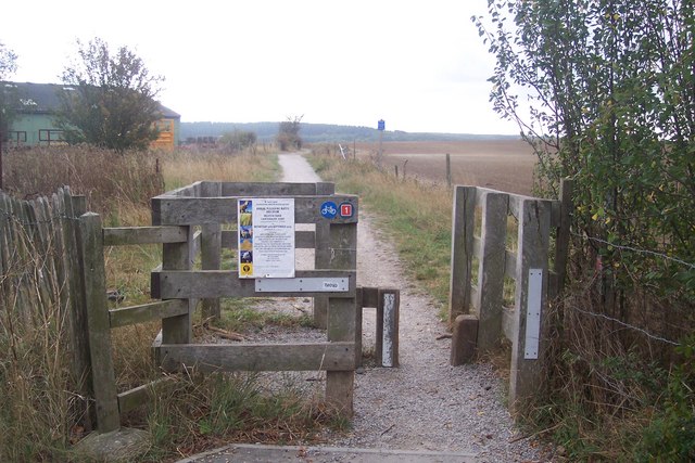
Image: © David Anstiss Taken: 30 Sep 2009
This path (following the route of a disused railway) leaves South Street to head off-road past Brooklands Farm and then onto Clowes Wood and Canterbury.
Images are licensed for reuse under creativecommons.org/licenses/by-sa/2.0
Image Location
Latitude
51.344212
Longitude
1.047979