Old Cricket Field
Introduction
The photograph on this page of Old Cricket Field by Simon Carey as part of the Geograph project.
The Geograph project started in 2005 with the aim of publishing, organising and preserving representative images for every square kilometre of Great Britain, Ireland and the Isle of Man.

There are currently over 7.5m images from over 14,400 individuals and you can help contribute to the project by visiting https://www.geograph.org.uk
Old Cricket Field
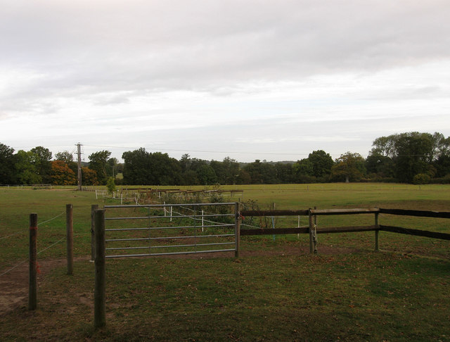
Image: © Simon Carey Taken: 4 Oct 2009
Current name of the field which was known as Hollis Croft on the 1842 tithe map. The former cricket pitch is now a series of paddocks.
Images are licensed for reuse under creativecommons.org/licenses/by-sa/2.0
Image Location
Latitude
50.920882
Longitude
-0.050972