
Cornhill House
Introduction
The photograph on this page of Cornhill House by Colin Inverarity as part of the Geograph project.
The Geograph project started in 2005 with the aim of publishing, organising and preserving representative images for every square kilometre of Great Britain, Ireland and the Isle of Man.

There are currently over 7.5m images from over 14,400 individuals and you can help contribute to the project by visiting https://www.geograph.org.uk
Cornhill House
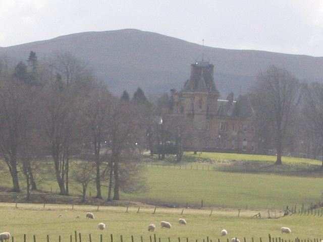
Image: © Colin Inverarity Taken: 13 Apr 2006
Time sees our use of buildings and land change. From a country estate it changed to an old people's home. My dad would take me on the short journey by bus from Biggar to see my grandmother there. It was here she died in 1960 at the age of 93. It eventually became a restaurant and now it looks as if it is to become the site of a 'prestigious' residential development !
Images are licensed for reuse under creativecommons.org/licenses/by-sa/2.0
Image Location

Latitude
55.600477
Longitude
-3.560074