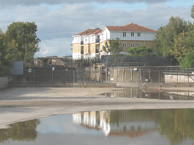
The Pilkington Canal, drained (2)
Introduction
The photograph on this page of The Pilkington Canal, drained (2) by Stephen Craven as part of the Geograph project.
The Geograph project started in 2005 with the aim of publishing, organising and preserving representative images for every square kilometre of Great Britain, Ireland and the Isle of Man.
There are currently over 7.5m images from over 14,400 individuals and you can help contribute to the project by visiting https://www.geograph.org.uk

Image: © Stephen Craven Taken: 4 Oct 2009
This is the northern end of the short artificial channel, including the disused lock that once allowed access into it from the Thames, drained for a few weeks for maintenance. See also Image The lock, and the swing bridge visible in the photo, are listed grade 2 (list entry number 1213695). The lock dates from 1812-14 to connect the Royal Arsenal Canal to the Thames, and the bridge came later, c.1876 to serve a standard gauge railway line to connect to the London Chatham and Dover Railway at Plumstead. The bridge is on the 2014 "Heritage at Risk" register.

