Chantry Lane, Saxton
Introduction
The photograph on this page of Chantry Lane, Saxton by Rich Tea as part of the Geograph project.
The Geograph project started in 2005 with the aim of publishing, organising and preserving representative images for every square kilometre of Great Britain, Ireland and the Isle of Man.

There are currently over 7.5m images from over 14,400 individuals and you can help contribute to the project by visiting https://www.geograph.org.uk
Chantry Lane, Saxton
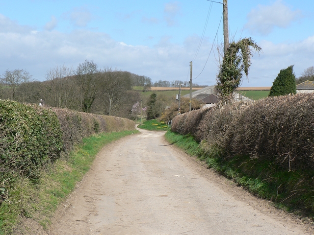
Image: © Rich Tea Taken: 13 Apr 2006
Seen from the B1217, passing Castle Hill farm on the right. This is near the site of the Battle of Towton, one of the bloodiest battles of the Wars of The Roses, in 1461.
Images are licensed for reuse under creativecommons.org/licenses/by-sa/2.0
Image Location


Leaflet Map data © OpenStreetMap
Latitude
53.830735
Longitude
-1.285858