Knipton Pasture, the Belvoir Estate
Introduction
The photograph on this page of Knipton Pasture, the Belvoir Estate by Kate Jewell as part of the Geograph project.
The Geograph project started in 2005 with the aim of publishing, organising and preserving representative images for every square kilometre of Great Britain, Ireland and the Isle of Man.

There are currently over 7.5m images from over 14,400 individuals and you can help contribute to the project by visiting https://www.geograph.org.uk
Knipton Pasture, the Belvoir Estate
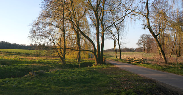
Image: © Kate Jewell Taken: 14 Apr 2006
The south entrance to the estate. The bridge crosses the Carrier, a brook that feeds the Upper Lake. Belvoir Castle can be seen on the horizon just to the left of the willows.
Images are licensed for reuse under creativecommons.org/licenses/by-sa/2.0
Image Location
Latitude
52.880721
Longitude
-0.771055