River Beal, Milnrow
Introduction
The photograph on this page of River Beal, Milnrow by Dr Neil Clifton as part of the Geograph project.
The Geograph project started in 2005 with the aim of publishing, organising and preserving representative images for every square kilometre of Great Britain, Ireland and the Isle of Man.

There are currently over 7.5m images from over 14,400 individuals and you can help contribute to the project by visiting https://www.geograph.org.uk
River Beal, Milnrow
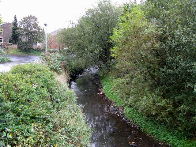
Image: © Dr Neil Clifton Taken: 3 Oct 2009
Looking upstream from Station Road bridge. The Beal is rather a sad little river. Rising in the hills above Shaw and polluted almost from birth, it struggles down through New Hey and Milnrow to disgorge into the River Roch at Belfield, whence its waters join first the Irwell and then the Mersey before becoming part of the Irish Sea.
Images are licensed for reuse under creativecommons.org/licenses/by-sa/2.0
Image Location
Latitude
53.608736
Longitude
-2.109386