Alnmouth Methodist church
Introduction
The photograph on this page of Alnmouth Methodist church by Graham Horn as part of the Geograph project.
The Geograph project started in 2005 with the aim of publishing, organising and preserving representative images for every square kilometre of Great Britain, Ireland and the Isle of Man.

There are currently over 7.5m images from over 14,400 individuals and you can help contribute to the project by visiting https://www.geograph.org.uk
Alnmouth Methodist church
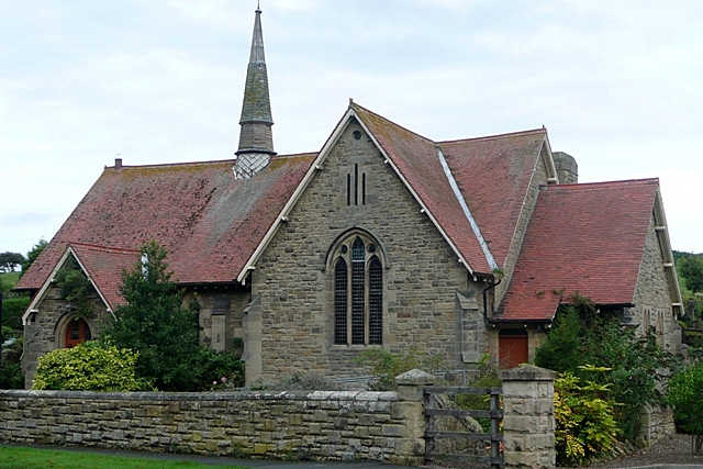
Image: © Graham Horn Taken: 2 Sep 2009
On Shepherd's Hill. I have not been able to find out when this church was built. Not even the Alnmouth village website http://www.alnmouth.org.uk/ , which includes a history section, has the details.
Images are licensed for reuse under creativecommons.org/licenses/by-sa/2.0
Image Location
Latitude
55.39073
Longitude
-1.614161