River Ribble upstream from London Road Bridge, Walton-le-Dale
Introduction
The photograph on this page of River Ribble upstream from London Road Bridge, Walton-le-Dale by Peter as part of the Geograph project.
The Geograph project started in 2005 with the aim of publishing, organising and preserving representative images for every square kilometre of Great Britain, Ireland and the Isle of Man.

There are currently over 7.5m images from over 14,400 individuals and you can help contribute to the project by visiting https://www.geograph.org.uk
River Ribble upstream from London Road Bridge, Walton-le-Dale
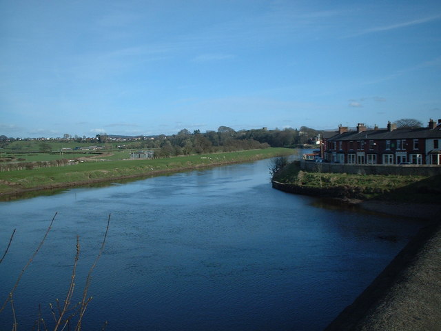
Image: © Peter Taken: 14 Apr 2006
The river runs roughly East-West under London Road bridge, having swept round from the South-East just up-stream.
Images are licensed for reuse under creativecommons.org/licenses/by-sa/2.0
Image Location


Leaflet Map data © OpenStreetMap
Latitude
53.752737
Longitude
-2.67938