Masefield Vale, Gaer, Newport
Introduction
The photograph on this page of Masefield Vale, Gaer, Newport by Jaggery as part of the Geograph project.
The Geograph project started in 2005 with the aim of publishing, organising and preserving representative images for every square kilometre of Great Britain, Ireland and the Isle of Man.

There are currently over 7.5m images from over 14,400 individuals and you can help contribute to the project by visiting https://www.geograph.org.uk
Masefield Vale, Gaer, Newport
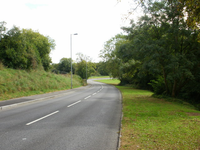
Image: © Jaggery Taken: 1 Oct 2009
Masefield Vale approaching the junction with Shakespeare Crescent. On the left, just visible between the two lampposts , is a fence marking the edge of a development area. Recently demolished prefabricated bungalows (prefabs) are to be replaced with new bungalows.
Images are licensed for reuse under creativecommons.org/licenses/by-sa/2.0
Image Location
Latitude
51.57384
Longitude
-3.018686