Bridge over the Flit
Introduction
The photograph on this page of Bridge over the Flit by Rob Farrow as part of the Geograph project.
The Geograph project started in 2005 with the aim of publishing, organising and preserving representative images for every square kilometre of Great Britain, Ireland and the Isle of Man.

There are currently over 7.5m images from over 14,400 individuals and you can help contribute to the project by visiting https://www.geograph.org.uk
Bridge over the Flit
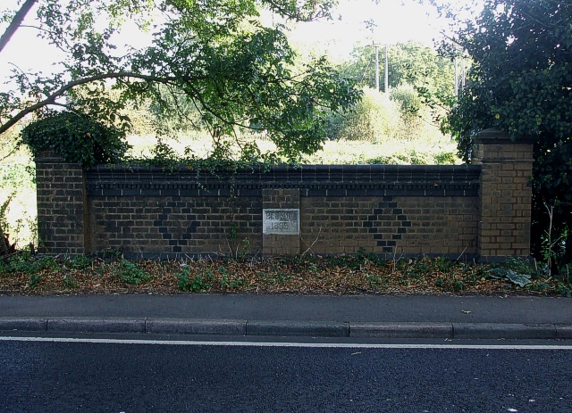
Image: © Rob Farrow Taken: 2 Oct 2009
The little watercourse that this bridge on Greenfield Road spans is either the nascent River Flit, or else one of its tributary streams - see Image The bridge was built by Bedfordshire C.C. in 1895 as can be seen in Image]
Images are licensed for reuse under creativecommons.org/licenses/by-sa/2.0
Image Location
Latitude
52.001405
Longitude
-0.482222