Slightly diverted towpath
Introduction
The photograph on this page of Slightly diverted towpath by Mark Nightingale as part of the Geograph project.
The Geograph project started in 2005 with the aim of publishing, organising and preserving representative images for every square kilometre of Great Britain, Ireland and the Isle of Man.

There are currently over 7.5m images from over 14,400 individuals and you can help contribute to the project by visiting https://www.geograph.org.uk
Slightly diverted towpath
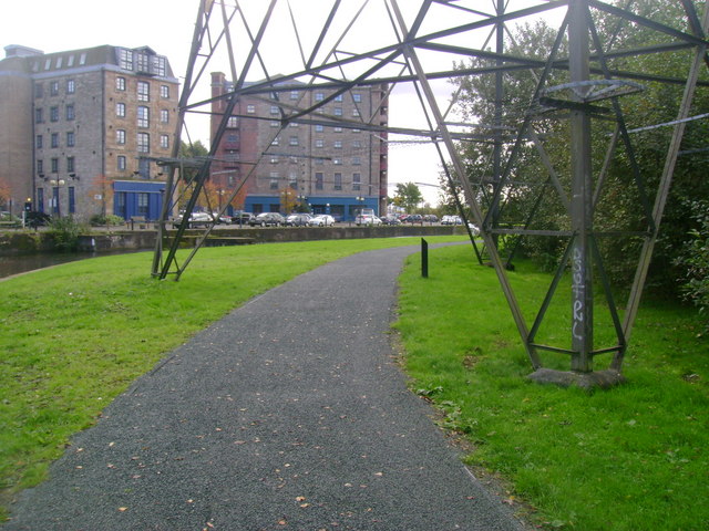
Image: © Mark Nightingale Taken: 30 Sep 2009
The path alongside the Forth and Clyde Canal close to Spiers Wharf has been diverted from its original line to accommodate an electricity pylon.
Images are licensed for reuse under creativecommons.org/licenses/by-sa/2.0
Image Location
Latitude
55.87515
Longitude
-4.257642