Southfields
Introduction
The photograph on this page of Southfields by Kokai as part of the Geograph project.
The Geograph project started in 2005 with the aim of publishing, organising and preserving representative images for every square kilometre of Great Britain, Ireland and the Isle of Man.

There are currently over 7.5m images from over 14,400 individuals and you can help contribute to the project by visiting https://www.geograph.org.uk
Southfields
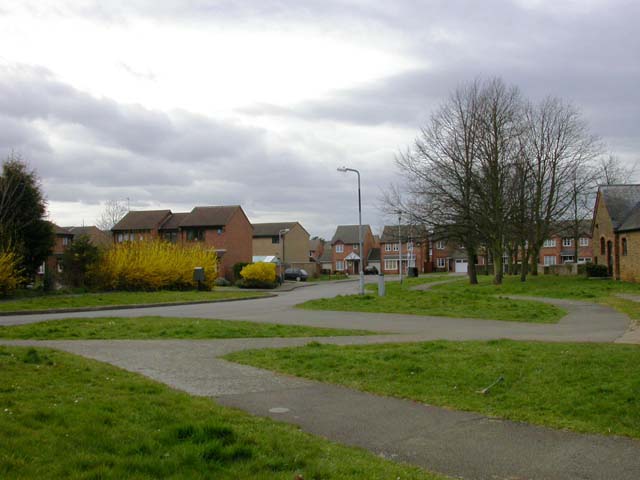
Image: © Kokai Taken: 12 Apr 2006
A new estate on the north-east edge of Northampton. To the right of the image is seen part of one of the buildings of Southfields Farm. It is now used for business units.
Images are licensed for reuse under creativecommons.org/licenses/by-sa/2.0
Image Location
Latitude
52.276424
Longitude
-0.827411