Upton Methodist Church
Introduction
The photograph on this page of Upton Methodist Church by Mike Faherty as part of the Geograph project.
The Geograph project started in 2005 with the aim of publishing, organising and preserving representative images for every square kilometre of Great Britain, Ireland and the Isle of Man.

There are currently over 7.5m images from over 14,400 individuals and you can help contribute to the project by visiting https://www.geograph.org.uk
Upton Methodist Church
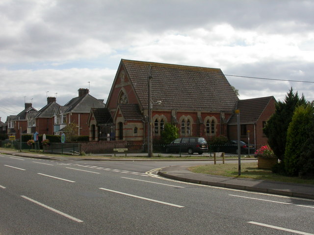
Image: © Mike Faherty Taken: 1 Oct 2009
At the junction of Dorchester and Sea View Roads; an inscription in the gable reads "Wesleyan Chapel 1865". http://www.uptonmethodistchurch.net/
Images are licensed for reuse under creativecommons.org/licenses/by-sa/2.0
Image Location
Latitude
50.739844
Longitude
-2.037361