West Buckland
Introduction
The photograph on this page of West Buckland by Derek Harper as part of the Geograph project.
The Geograph project started in 2005 with the aim of publishing, organising and preserving representative images for every square kilometre of Great Britain, Ireland and the Isle of Man.

There are currently over 7.5m images from over 14,400 individuals and you can help contribute to the project by visiting https://www.geograph.org.uk
West Buckland
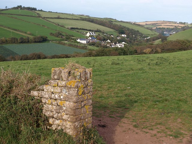
Image: © Derek Harper Taken: 24 Sep 2009
The village, in the Buckland Stream valley, seen from the junction of Thurlestone Footpaths 4 and 19. To its north (left) rises the ridge between this valley and the Avon valley.
Images are licensed for reuse under creativecommons.org/licenses/by-sa/2.0
Image Location
Latitude
50.27748
Longitude
-3.859503