Track to Ley Park
Introduction
The photograph on this page of Track to Ley Park by Jonathan Billinger as part of the Geograph project.
The Geograph project started in 2005 with the aim of publishing, organising and preserving representative images for every square kilometre of Great Britain, Ireland and the Isle of Man.

There are currently over 7.5m images from over 14,400 individuals and you can help contribute to the project by visiting https://www.geograph.org.uk
Track to Ley Park
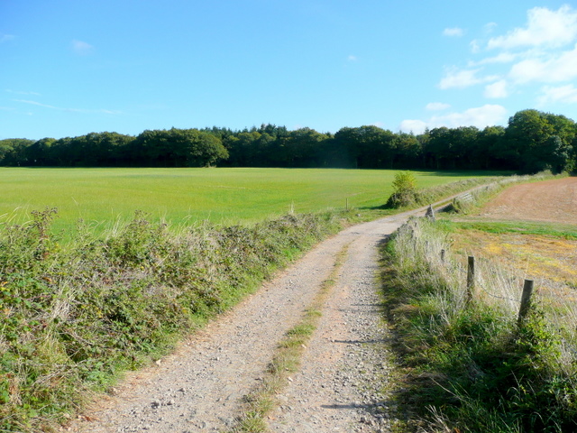
Image: © Jonathan Billinger Taken: 29 Sep 2009
Ley Park refers to the large piece of woodland ahead which occupies most of this gridsquare.
Images are licensed for reuse under creativecommons.org/licenses/by-sa/2.0
Image Location
Latitude
51.854885
Longitude
-2.421011