Victorian houses in Abbeville Road
Introduction
The photograph on this page of Victorian houses in Abbeville Road by Chris Reynolds as part of the Geograph project.
The Geograph project started in 2005 with the aim of publishing, organising and preserving representative images for every square kilometre of Great Britain, Ireland and the Isle of Man.

There are currently over 7.5m images from over 14,400 individuals and you can help contribute to the project by visiting https://www.geograph.org.uk
Victorian houses in Abbeville Road
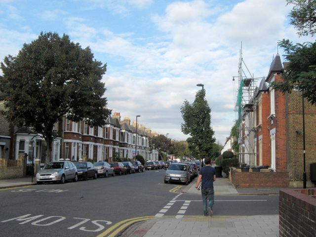
Image: © Chris Reynolds Taken: 29 Sep 2009
Abbeville Road is part of the grid of streets that form the late-Victorian Clapham Park development (http://en.wikipedia.org/wiki/Clapham_Park ), which catered for the first Tube commuters.
Images are licensed for reuse under creativecommons.org/licenses/by-sa/2.0
Image Location
Latitude
51.456301
Longitude
-0.13779