Farmland near Ufton
Introduction
The photograph on this page of Farmland near Ufton by Stephen McKay as part of the Geograph project.
The Geograph project started in 2005 with the aim of publishing, organising and preserving representative images for every square kilometre of Great Britain, Ireland and the Isle of Man.

There are currently over 7.5m images from over 14,400 individuals and you can help contribute to the project by visiting https://www.geograph.org.uk
Farmland near Ufton
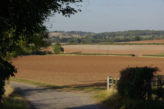
Image: © Stephen McKay Taken: 26 Sep 2009
Just north of Ufton village, the track leads across to the Welsh Road; it forms part of the Centenary Way and is also known here as the Ridgeway.
Images are licensed for reuse under creativecommons.org/licenses/by-sa/2.0
Image Location


Leaflet Map data © OpenStreetMap
Latitude
52.259375
Longitude
-1.447467