Waterfall Road
Introduction
The photograph on this page of Waterfall Road by Martin Addison as part of the Geograph project.
The Geograph project started in 2005 with the aim of publishing, organising and preserving representative images for every square kilometre of Great Britain, Ireland and the Isle of Man.

There are currently over 7.5m images from over 14,400 individuals and you can help contribute to the project by visiting https://www.geograph.org.uk
Waterfall Road
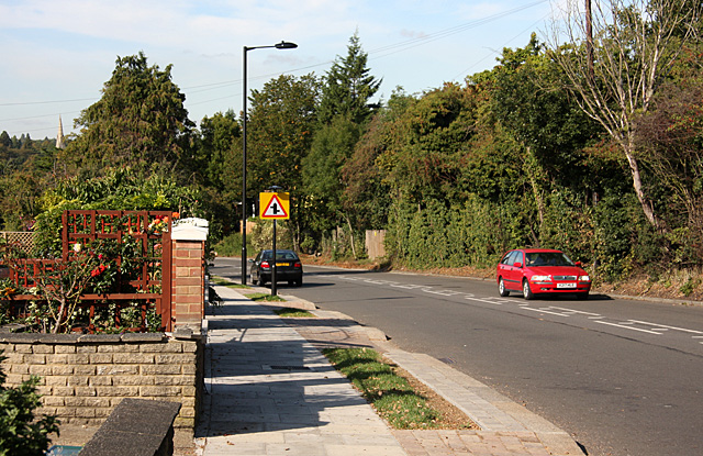
Image: © Martin Addison Taken: 25 Sep 2009
Climbing up the hill from where it crosses Pymmes Brook, the road passes alongside Southgate Cemetery, which is behind the trees on the right.
Images are licensed for reuse under creativecommons.org/licenses/by-sa/2.0
Image Location
Latitude
51.62456
Longitude
-0.132787