Hertfordshire Way, Kings Langley
Introduction
The photograph on this page of Hertfordshire Way, Kings Langley by Colin Smith as part of the Geograph project.
The Geograph project started in 2005 with the aim of publishing, organising and preserving representative images for every square kilometre of Great Britain, Ireland and the Isle of Man.

There are currently over 7.5m images from over 14,400 individuals and you can help contribute to the project by visiting https://www.geograph.org.uk
Hertfordshire Way, Kings Langley
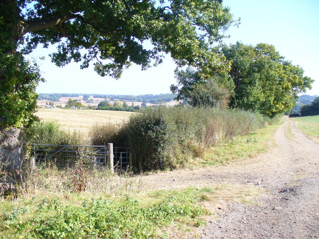
Image: © Colin Smith Taken: 27 Sep 2009
Wide and well-surfaced stretch on the so-called Hertfordshire Way as it crosses farmland south-west of Kings Langley.
Images are licensed for reuse under creativecommons.org/licenses/by-sa/2.0
Image Location
Latitude
51.708467
Longitude
-0.455428