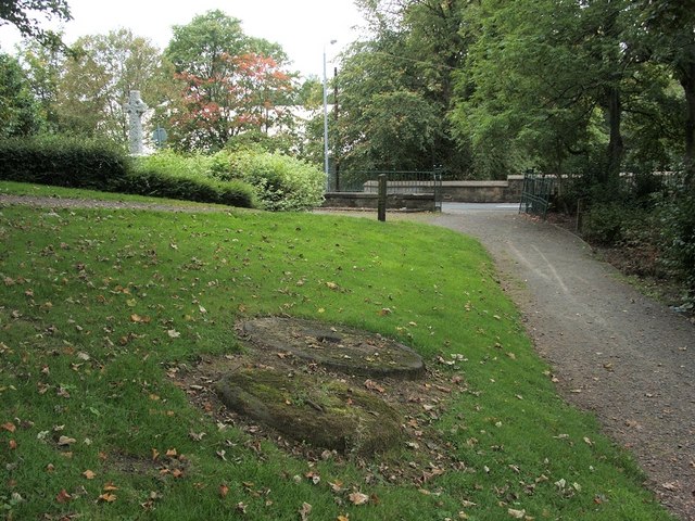
Millstones in Goldenhill Park
Introduction
The photograph on this page of Millstones in Goldenhill Park by Lairich Rig as part of the Geograph project.
The Geograph project started in 2005 with the aim of publishing, organising and preserving representative images for every square kilometre of Great Britain, Ireland and the Isle of Man.
There are currently over 7.5m images from over 14,400 individuals and you can help contribute to the project by visiting https://www.geograph.org.uk

Image: © Lairich Rig Taken: 18 Sep 2009
The two millstones that can be seen in the foreground are from Duntocher Corn Mill, which ceased operating in 1820. The leaflet "Duntocher, Hardgate and Faifley Heritage Trail" points out that "the first reference to a corn mill in Duntocher is in the Paisley Abbey rental book of 1460 which notes that the Duntocher Burn was used by a mill owned by Thome de Strabrock". The millstones are located near the north-western entrance of Goldenhill Park (that entrance can be seen in the background). Visible through the gate is a bridge which stands on the site of a Roman original: Image The cross on the left is part of a war memorial: http://www.geograph.org.uk/photo/68632 For another view, see Image, which includes another site of interest in the background: Image

