Mount Pleasant Road, Dawlish Warren
Introduction
The photograph on this page of Mount Pleasant Road, Dawlish Warren by Robin Stott as part of the Geograph project.
The Geograph project started in 2005 with the aim of publishing, organising and preserving representative images for every square kilometre of Great Britain, Ireland and the Isle of Man.

There are currently over 7.5m images from over 14,400 individuals and you can help contribute to the project by visiting https://www.geograph.org.uk
Mount Pleasant Road, Dawlish Warren
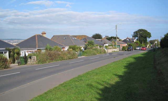
Image: © Robin Stott Taken: 26 Sep 2009
The main route to the beach, shops, holiday camps, golf course, nature reserve and the west bank of the Exe. A glimpse of Exmouth appears between the houses.
Images are licensed for reuse under creativecommons.org/licenses/by-sa/2.0
Image Location


Leaflet Map data © OpenStreetMap
Latitude
50.594498
Longitude
-3.449508