Camping ground above Lady's Mile holiday park
Introduction
The photograph on this page of Camping ground above Lady's Mile holiday park by Robin Stott as part of the Geograph project.
The Geograph project started in 2005 with the aim of publishing, organising and preserving representative images for every square kilometre of Great Britain, Ireland and the Isle of Man.

There are currently over 7.5m images from over 14,400 individuals and you can help contribute to the project by visiting https://www.geograph.org.uk
Camping ground above Lady's Mile holiday park
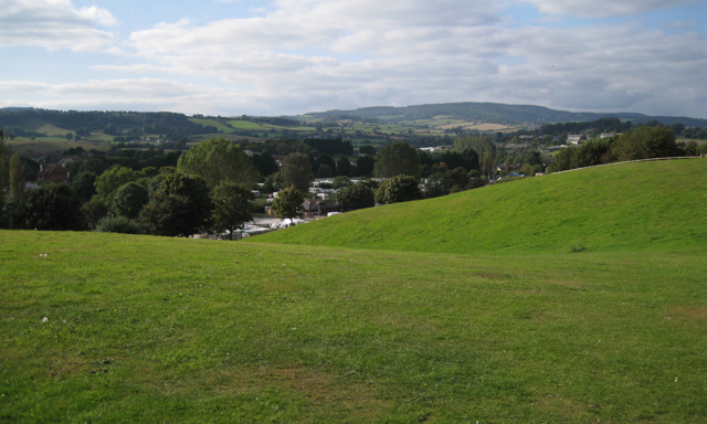
Image: © Robin Stott Taken: 26 Sep 2009
End of season. On the skyline, left, are the woods on the ridge above Langdon House Image Right of centre is Great Haldon and the woods above Mamhead Image Langdon Hospital, right.
Images are licensed for reuse under creativecommons.org/licenses/by-sa/2.0
Image Location
Latitude
50.593511
Longitude
-3.456542