Barnfield
Introduction
The photograph on this page of Barnfield by Simon Carey as part of the Geograph project.
The Geograph project started in 2005 with the aim of publishing, organising and preserving representative images for every square kilometre of Great Britain, Ireland and the Isle of Man.

There are currently over 7.5m images from over 14,400 individuals and you can help contribute to the project by visiting https://www.geograph.org.uk
Barnfield
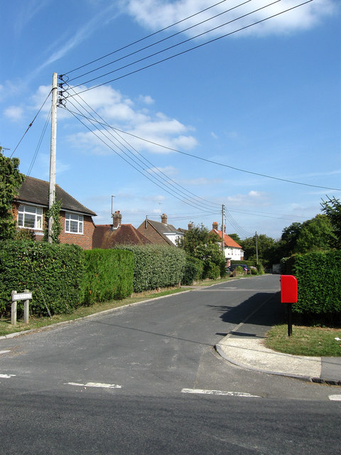
Image: © Simon Carey Taken: 26 Sep 2009
Small cul-de-sac off Station Road and judging by the mish mash of building styles one of the older housing areas of the village.
Images are licensed for reuse under creativecommons.org/licenses/by-sa/2.0
Image Location
Latitude
50.929117
Longitude
-0.059451