Lyminster: Public footpath
Introduction
The photograph on this page of Lyminster: Public footpath by Nigel Cox as part of the Geograph project.
The Geograph project started in 2005 with the aim of publishing, organising and preserving representative images for every square kilometre of Great Britain, Ireland and the Isle of Man.

There are currently over 7.5m images from over 14,400 individuals and you can help contribute to the project by visiting https://www.geograph.org.uk
Lyminster: Public footpath
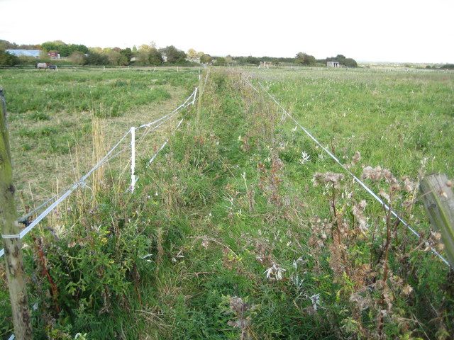
Image: © Nigel Cox Taken: 17 Sep 2009
This little-used public footpath cuts off the corner of Lyminster Road where it makes a double right-angled turn through the village. The path is shown on the Ordnance Survey map of 1879 at which time Lyminster was, according to the OS, definitely spelt Leominster. Today the path is defined on the ground by nothing more than some bands of electric fencing separating various paddocks for horses.
Images are licensed for reuse under creativecommons.org/licenses/by-sa/2.0
Image Location
Latitude
50.83094
Longitude
-0.543502