Black Ditch in Lyminster
Introduction
The photograph on this page of Black Ditch in Lyminster by Nigel Cox as part of the Geograph project.
The Geograph project started in 2005 with the aim of publishing, organising and preserving representative images for every square kilometre of Great Britain, Ireland and the Isle of Man.

There are currently over 7.5m images from over 14,400 individuals and you can help contribute to the project by visiting https://www.geograph.org.uk
Black Ditch in Lyminster
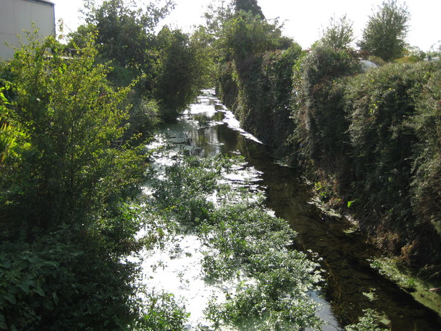
Image: © Nigel Cox Taken: 17 Sep 2009
The title is possibly a slight misnomer as the boundary between the Civil Parish of Lyminster and Crossbush, and the Civil Parish of Littlehampton runs down the centre of the watercourse, but Lyminster is probably the nearest discrete settlement. Of these Lyminster and Crossbush is to the right and Littlehampton to the left. Nonetheless Black Ditch was glinting in the late afternoon sunshine and somewhat living up to its name, although the water was actually very clear and flowing well. I think that Black Ditch was a mediaeval waterway and was probably built at least in part to help drain the low lying land to the immediate north of the coast, to which it flows on a parallel route. It is a tributary of the River Arun and is seen here about a kilometre and a half upstream of their confluence.
Images are licensed for reuse under creativecommons.org/licenses/by-sa/2.0
Image Location
Latitude
50.829895
Longitude
-0.546232