Former Starbeck Workhouse - High Street
Introduction
The photograph on this page of Former Starbeck Workhouse - High Street by Betty Longbottom as part of the Geograph project.
The Geograph project started in 2005 with the aim of publishing, organising and preserving representative images for every square kilometre of Great Britain, Ireland and the Isle of Man.

There are currently over 7.5m images from over 14,400 individuals and you can help contribute to the project by visiting https://www.geograph.org.uk
Former Starbeck Workhouse - High Street
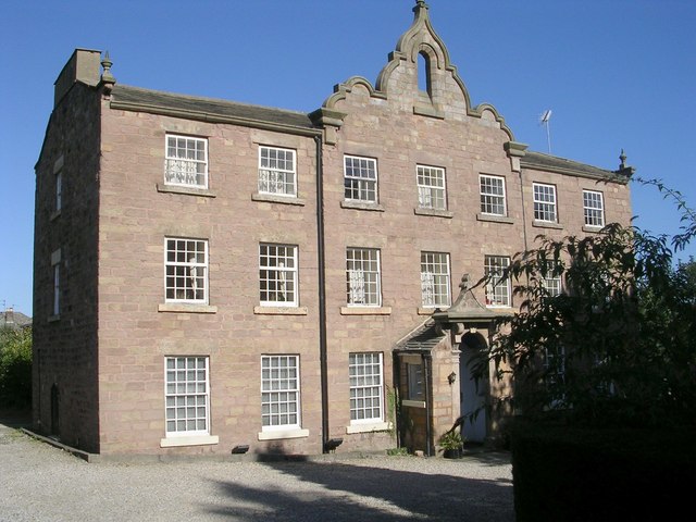
Image: © Betty Longbottom Taken: 26 Sep 2009
Built in 1810, this served as the workhouse until 1858 when a new workhouse was built. It has now been converted into offices.
Images are licensed for reuse under creativecommons.org/licenses/by-sa/2.0
Image Location
Latitude
53.997213
Longitude
-1.504202