Flint Barn, Ashurst Lane
Introduction
The photograph on this page of Flint Barn, Ashurst Lane by Simon Carey as part of the Geograph project.
The Geograph project started in 2005 with the aim of publishing, organising and preserving representative images for every square kilometre of Great Britain, Ireland and the Isle of Man.

There are currently over 7.5m images from over 14,400 individuals and you can help contribute to the project by visiting https://www.geograph.org.uk
Flint Barn, Ashurst Lane
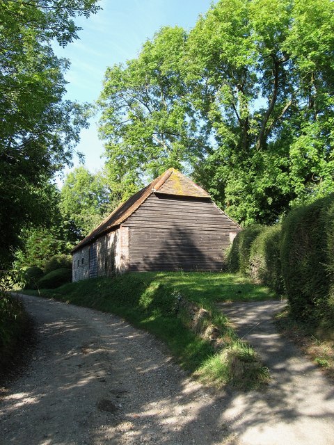
Image: © Simon Carey Taken: 26 Sep 2009
Once belonged to nearby Ashurst Farm though may now belong to a neighbouring house called The Providence. Ashurst Lane is an unmade lane and private road linking Plumpton Cross with Streat that is also a bridleway.
Images are licensed for reuse under creativecommons.org/licenses/by-sa/2.0
Image Location
Latitude
50.921603
Longitude
-0.067304