Allt an Lagain by Loch Eriboll
Introduction
The photograph on this page of Allt an Lagain by Loch Eriboll by AlastairG as part of the Geograph project.
The Geograph project started in 2005 with the aim of publishing, organising and preserving representative images for every square kilometre of Great Britain, Ireland and the Isle of Man.

There are currently over 7.5m images from over 14,400 individuals and you can help contribute to the project by visiting https://www.geograph.org.uk
Allt an Lagain by Loch Eriboll
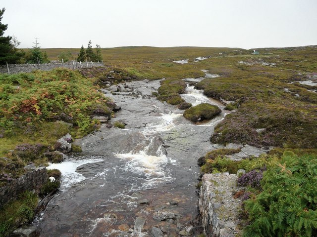
Image: © AlastairG Taken: 29 Aug 2009
This shows the burn running off after a spate. Compare it with Image It seriously wet conditions, no rock can be seen anywhere in the river channel from the skyline to the bridge from which the view was taken.
Images are licensed for reuse under creativecommons.org/licenses/by-sa/2.0
Image Location
Latitude
58.491764
Longitude
-4.727808