The A487 through Croes-Goch
Introduction
The photograph on this page of The A487 through Croes-Goch by Martyn Harries as part of the Geograph project.
The Geograph project started in 2005 with the aim of publishing, organising and preserving representative images for every square kilometre of Great Britain, Ireland and the Isle of Man.

There are currently over 7.5m images from over 14,400 individuals and you can help contribute to the project by visiting https://www.geograph.org.uk
The A487 through Croes-Goch
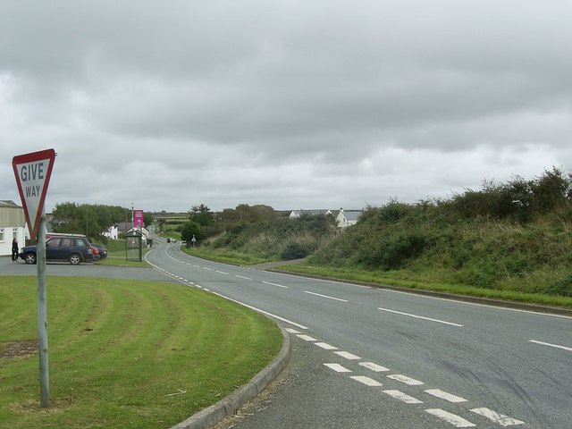
Image: © Martyn Harries Taken: 21 Sep 2009
Taken from the junction by the A487. The car in the distance is turning into the B4330 Croes-Goch to Haverfordwest road.
Images are licensed for reuse under creativecommons.org/licenses/by-sa/2.0
Image Location
Latitude
51.928113
Longitude
-5.159908