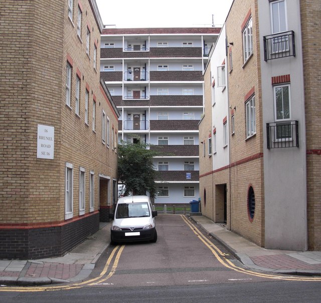
Ainsty Street, Rotherhithe, London, SE16
Introduction
The photograph on this page of Ainsty Street, Rotherhithe, London, SE16 by Chris Lordan as part of the Geograph project.
The Geograph project started in 2005 with the aim of publishing, organising and preserving representative images for every square kilometre of Great Britain, Ireland and the Isle of Man.
There are currently over 7.5m images from over 14,400 individuals and you can help contribute to the project by visiting https://www.geograph.org.uk

Image: © Chris Lordan Taken: 23 Sep 2009
Off Brunel Road and about 75 yards west of Canon Beck Road and originally called York Street, stretching from the boundary fence of Surrey Docks to about 100 yards north of Brunel Road. At the bottom is the rear of Pine House to the right of which (out of view) can be found Larch House - to the left (again out of view) can be found Beech House. All three form the Ainsty Estate. "Ainsty" is an old name for an area close to the City of York.

