Henley Close, St Marychurch Street, Rotherhithe, London, SE16
Introduction
The photograph on this page of Henley Close, St Marychurch Street, Rotherhithe, London, SE16 by Chris Lordan as part of the Geograph project.
The Geograph project started in 2005 with the aim of publishing, organising and preserving representative images for every square kilometre of Great Britain, Ireland and the Isle of Man.

There are currently over 7.5m images from over 14,400 individuals and you can help contribute to the project by visiting https://www.geograph.org.uk
Henley Close, St Marychurch Street, Rotherhithe, London, SE16
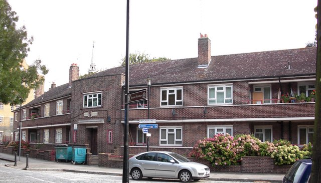
Image: © Chris Lordan Taken: 23 Sep 2009
Viewed from St Marys Estate. Named after Councillor Albert Henley, ex mayor of Bermondsey, who was killed on 11-05-1941 fighting incendiary bombs that had fallen on the roof of the Bermondsey Town Hall in Spa Road, London, SE1.
Images are licensed for reuse under creativecommons.org/licenses/by-sa/2.0
Image Location
Latitude
51.500838
Longitude
-0.056154