Plumpton College
Introduction
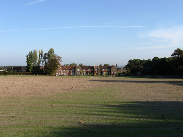
The photograph on this page of Plumpton College by Simon Carey as part of the Geograph project.
The Geograph project started in 2005 with the aim of publishing, organising and preserving representative images for every square kilometre of Great Britain, Ireland and the Isle of Man.
There are currently over 7.5m images from over 14,400 individuals and you can help contribute to the project by visiting https://www.geograph.org.uk

Image: © Simon Carey Taken: 26 Sep 2009
The building in view dates from 1926 though the country council had originally purchased the surrounding estate in 1919 to provide education for those entering into agriculture. It grew in size but was closed during the Second World War when it was given over to training land girls before reopening after the conflict. Viewed from Ditchling Road the field in the foreground is called Upper Church Laine.

