Drumcliff Avenue, Bogside
Introduction
The photograph on this page of Drumcliff Avenue, Bogside by Dean Molyneaux as part of the Geograph project.
The Geograph project started in 2005 with the aim of publishing, organising and preserving representative images for every square kilometre of Great Britain, Ireland and the Isle of Man.

There are currently over 7.5m images from over 14,400 individuals and you can help contribute to the project by visiting https://www.geograph.org.uk
Drumcliff Avenue, Bogside
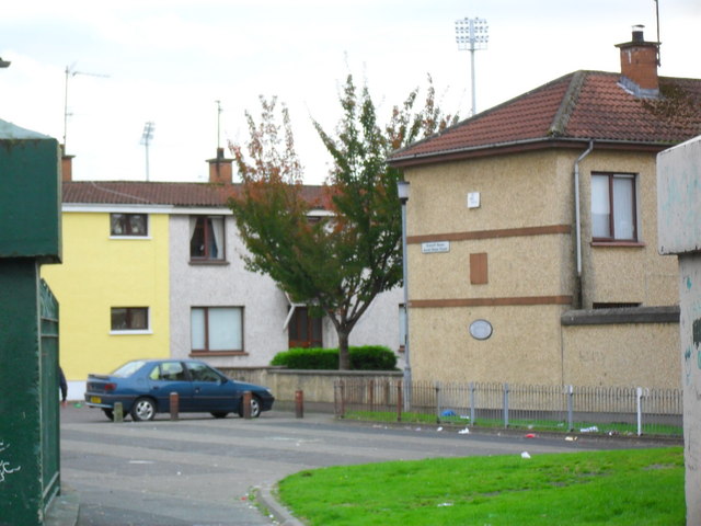
Image: © Dean Molyneaux Taken: 26 Sep 2009
Drumcliff Avenue in Derry's Bogside seen from Westland Street. The floodlights of Derry City F.C.'s stadium, the Brandywell, can be seen in the background.
Images are licensed for reuse under creativecommons.org/licenses/by-sa/2.0
Image Location
Latitude
54.995297
Longitude
-7.328287