Cliff Mill
Introduction
The photograph on this page of Cliff Mill by Alan Murray-Rust as part of the Geograph project.
The Geograph project started in 2005 with the aim of publishing, organising and preserving representative images for every square kilometre of Great Britain, Ireland and the Isle of Man.

There are currently over 7.5m images from over 14,400 individuals and you can help contribute to the project by visiting https://www.geograph.org.uk
Cliff Mill
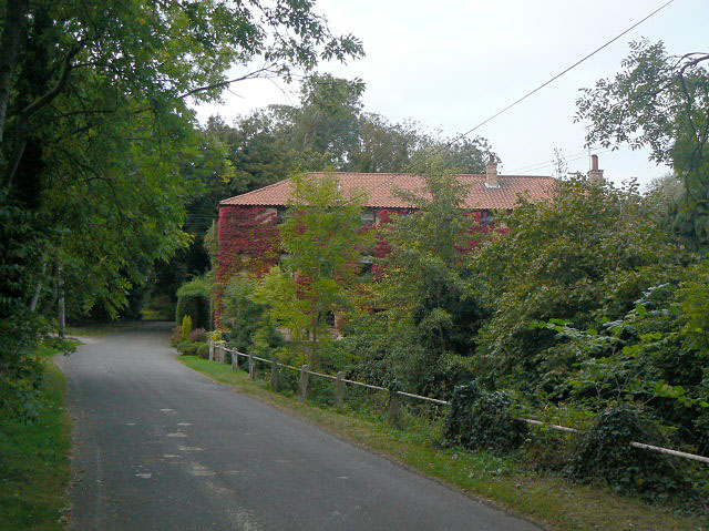
Image: © Alan Murray-Rust Taken: 24 Sep 2009
This was a cotton mill, not a corn mill, which is unusual for its location. In the 1970s it was derelict but has been rebuilt as residential accommodation. The narrow lane was until at least the 1930s the main road from Nottingham to Southwell.
Images are licensed for reuse under creativecommons.org/licenses/by-sa/2.0
Image Location
Latitude
53.015477
Longitude
-0.990678