Footpath Junction, Plumpton Racecourse
Introduction
The photograph on this page of Footpath Junction, Plumpton Racecourse by Simon Carey as part of the Geograph project.
The Geograph project started in 2005 with the aim of publishing, organising and preserving representative images for every square kilometre of Great Britain, Ireland and the Isle of Man.

There are currently over 7.5m images from over 14,400 individuals and you can help contribute to the project by visiting https://www.geograph.org.uk
Footpath Junction, Plumpton Racecourse
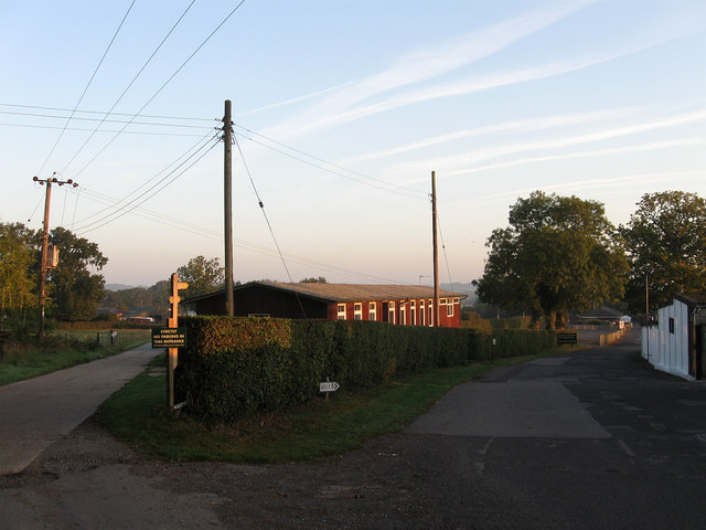
Image: © Simon Carey Taken: 26 Sep 2009
The drive to the left heads to Jenners Farm and takes the footpath north to Ridden's Farm whilst that on the right follows the western side of Plumpton Racecourse back to Plumpton Green. The building in the centre is a canteen for racecourse staff.
Images are licensed for reuse under creativecommons.org/licenses/by-sa/2.0
Image Location
Latitude
50.922918
Longitude
-0.065258