The path from Boxhill Walk to Harcourt Way
Introduction
The photograph on this page of The path from Boxhill Walk to Harcourt Way by Adrian Allsop as part of the Geograph project.
The Geograph project started in 2005 with the aim of publishing, organising and preserving representative images for every square kilometre of Great Britain, Ireland and the Isle of Man.

There are currently over 7.5m images from over 14,400 individuals and you can help contribute to the project by visiting https://www.geograph.org.uk
The path from Boxhill Walk to Harcourt Way
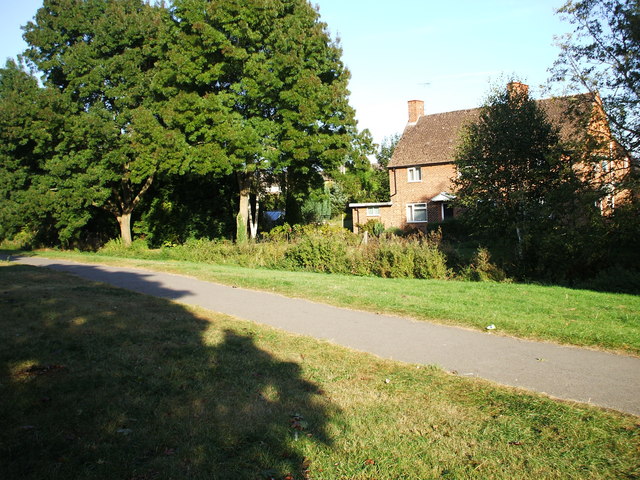
Image: © Adrian Allsop Taken: 26 Sep 2009
The River Stert, with only a little water in it at this time, runs between the path and house.
Images are licensed for reuse under creativecommons.org/licenses/by-sa/2.0
Image Location
Latitude
51.676954
Longitude
-1.282188