Noel Street
Introduction
The photograph on this page of Noel Street by John Sutton as part of the Geograph project.
The Geograph project started in 2005 with the aim of publishing, organising and preserving representative images for every square kilometre of Great Britain, Ireland and the Isle of Man.

There are currently over 7.5m images from over 14,400 individuals and you can help contribute to the project by visiting https://www.geograph.org.uk
Noel Street
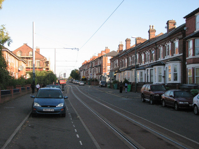
Image: © John Sutton Taken: 24 Sep 2009
Tramlines just south of the junction with Berridge Road Central. Click http://www.geograph.org.uk/photo/1612734 to see the demolition, in 1967, of the houses which once stood on the left.
Images are licensed for reuse under creativecommons.org/licenses/by-sa/2.0
Image Location
Latitude
52.968498
Longitude
-1.169709