Cycle path access point at Wingate
Introduction
The photograph on this page of Cycle path access point at Wingate by Oliver Dixon as part of the Geograph project.
The Geograph project started in 2005 with the aim of publishing, organising and preserving representative images for every square kilometre of Great Britain, Ireland and the Isle of Man.

There are currently over 7.5m images from over 14,400 individuals and you can help contribute to the project by visiting https://www.geograph.org.uk
Cycle path access point at Wingate
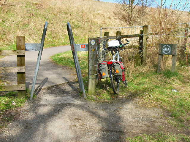
Image: © Oliver Dixon Taken: 10 Apr 2006
Just south of this point the Haswell to Hart Cyclepath and the Castle Eden Walkway converge. The A-type access control is designed to prevent access by motorcyclists.
Images are licensed for reuse under creativecommons.org/licenses/by-sa/2.0
Image Location
Latitude
54.738954
Longitude
-1.374043